Broadband Data Collection
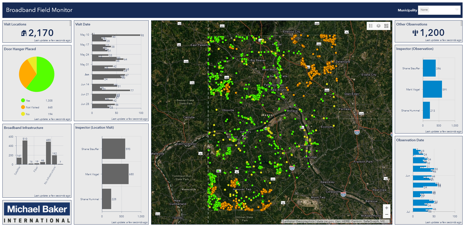
View the Broadband Field Monitor Demo

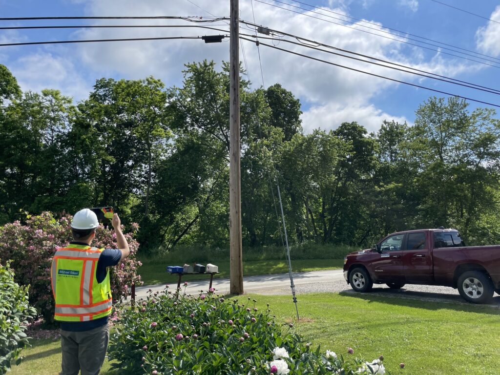
The Michael Baker Broadband Field Ops team is able to take a more in-depth approach by doing a ‘boots on the ground’ survey to validate broadband areas that are truly unserved. Field crews use geo-enabled tablets with custom mapping software installed. The Broadband Field Ops team records the location (latitude and longitude), any user-defined attribute fields (ex: Infrastructure Type), and photographs captured at the location surveyed. Also installed on the tablet is speed test software provided by our partner, Ookla. This allows testing of the mobile broadband speeds at each survey location. Collecting mobile broadband speeds helps in determining if locations lack both fixed and mobile broadband connectivity.
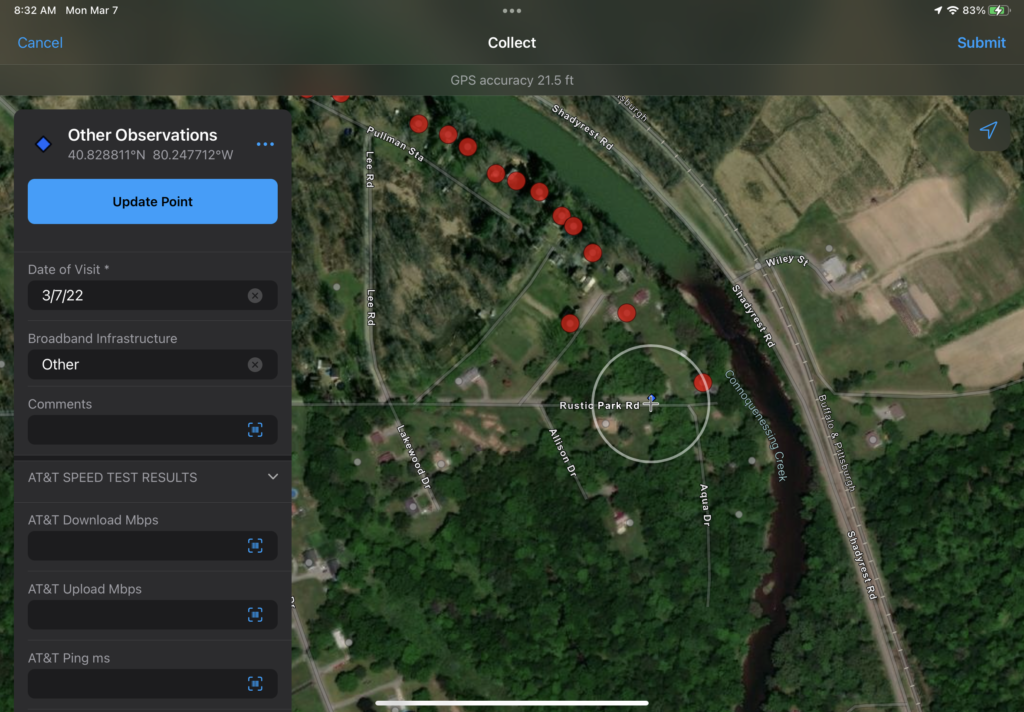
Broadband Field Validator
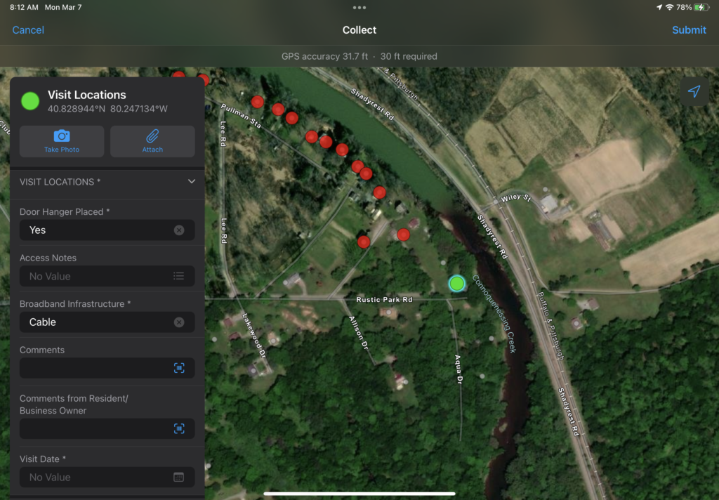
Broadband Field Validator
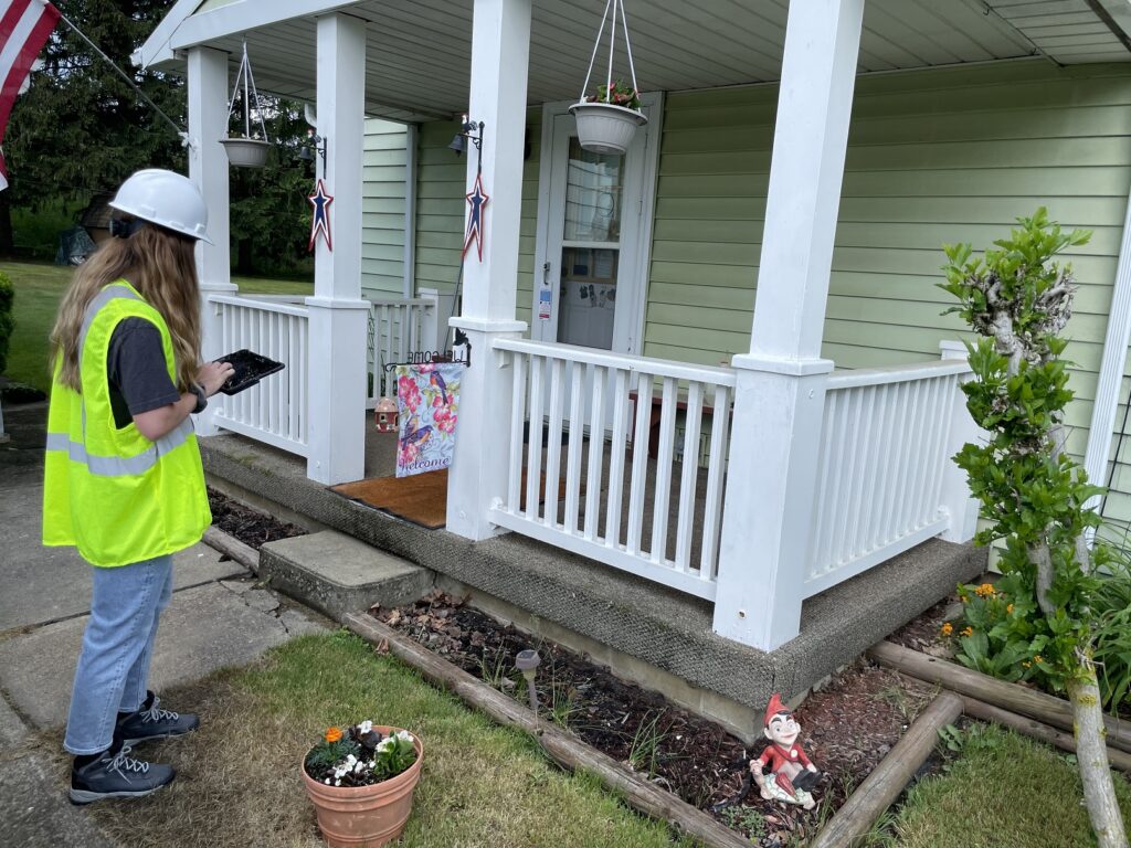
Broadband Field Validator
Broadband Field Validator

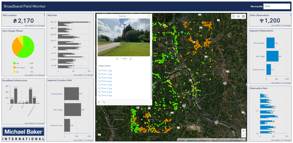
As the Broadband Field Ops team is surveying unserved areas, Michael Baker employees back at the office are able to see real-time progress as the field team travels from one location to another. Using enterprise GIS software, with web mapping applications, managing real-time geospatial data supports rapid, on-the-fly data processing and allows for the coordination of staff. Real-time QA/QC checks occur, ensuring the data is accurate.
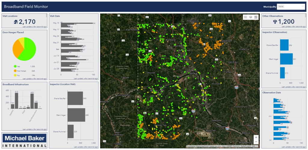
Broadband Field Monitor
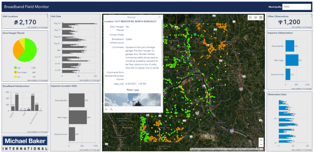
Broadband Field Monitor
with unserved areas highlighted
